Latest News
 Buckland looking at $5.9M budget for FY26
 Greenfield Police Logs: March 8 to March 16, 2025
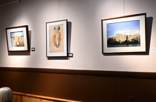
Mill Street Artists displaying work at Hope & Olive in Greenfield
GREENFIELD — Four former students of Artspace Community Arts Center are showcasing their work at Hope & Olive through April and May.
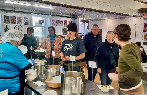
Monthly Community Soup Nights prove popular at Greenfield’s Stone Soup Cafe
GREENFIELD — In an effort to feed and unite the community, Stone Soup Cafe, in partnership with Greenfield Savings Bank, Greenfield Cooperative Bank and other local sponsors, is hosting monthly pay-what-you-can Community Soup Nights until June.
Most Read
 Shelburne Selectboard determines police detective will retain job
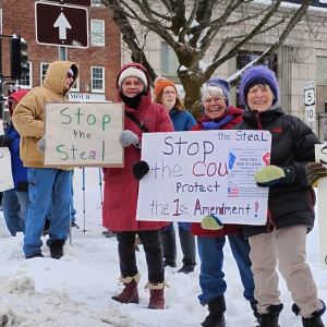 Local ‘Hands Off!’ standouts planned as part of national effort
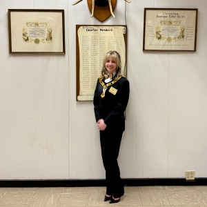 ‘She is our future’: Thirty years after permitting women to join, Montague Elks is almost entirely women-led
 Cooking up an expansion: Cocina Lupita eyes second location in Turners Falls
 Five UMass Amherst students have visas, student status revoked
 Greenfield Historical Commission gives nod to apartment proposal for Main Street
Editors Picks
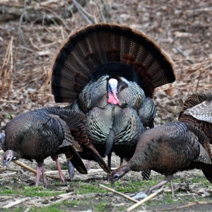 PHOTO: Gobbling up attention
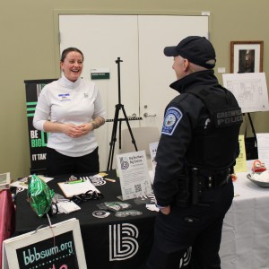 PHOTOS: GCC hosts Involvement Expo
 Part 1: Enough Abuse shares series of tips for National Child Abuse Prevention Month
 Montague and Erving Notebook: April 5, 2025
Sports
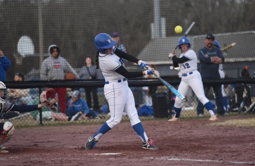
HS Softball: Turners’ Madi Liimatainen strikes out 17, Franklin Tech’s Kylee Gamache records 100th hit in Thunder’s 10-3 win (PHOTOS)
TURNERS FALLS — Turners Falls softball coach Gary Mullins knew his team would be facing tough pitchers throughout the year. Taking on one of them in Franklin Tech’s Hannah Gilbert Friday, the longtime coach was proud of the way his players handled the pressure at the plate.
 High school softball preview 2025: Can Turners Falls defend its Division 5 state title?
 Keeping Score with Chip Ainsworth: Florida is softball paradise
 On The Run with John Stifler: Fast walkers
Opinion
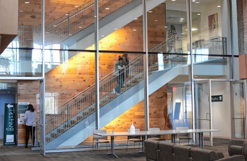
My Turn: Invest in hunger-free campuses to make free college truly work
 Dale Moss: Trump, Musk actions will cause long-term damage
 Beth Girshman: Support federal funding of libraries and museums
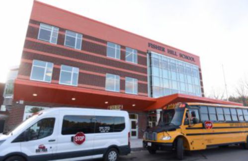 My Turn: Energizing a school — and a community
 Guest columnist Liz Brown: Abortion care is health care

Your Daily Puzzles

An approachable redesign to a classic. Explore our "hints."

A quick daily flip. Finally, someone cracked the code on digital jigsaw puzzles.

Chess but with chaos: Every day is a unique, wacky board.

Word search but as a strategy game. Clearing the board feels really good.

Align the letters in just the right way to spell a word. And then more words.
Business

Cooking up an expansion: Cocina Lupita eyes second location in Turners Falls
GREENFIELD — The owners of Salvadoran restaurant Cocina Lupita are seeking the community’s support to help fuel their goal of opening a second location in Turners Falls this May.
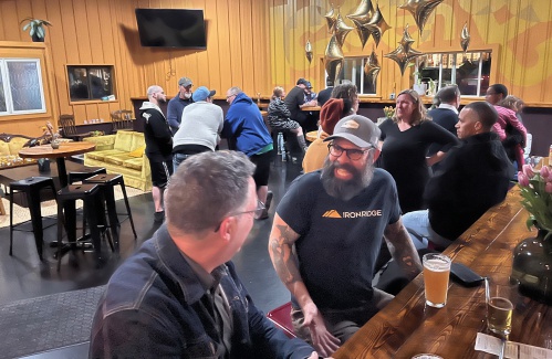 Incandescent Brewing now open in Bernardston
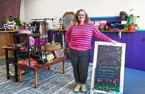 Out with fast fashion, in with sustainability: The Sparkle Cave clothing store opens in Greenfield
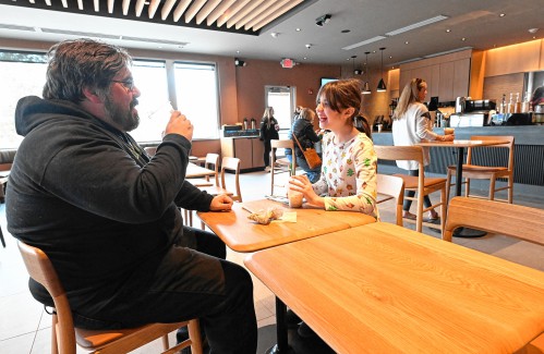 Greenfield Starbucks pours its first cup
Arts & Life
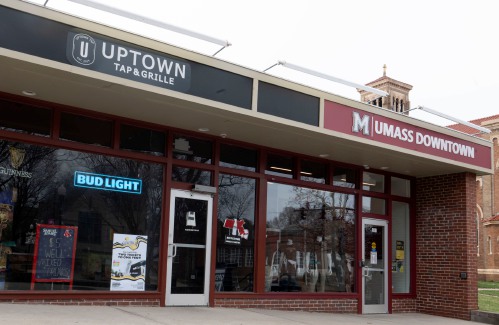
Amherst can’t decide where it is: Is town center uptown or downtown?
Those attending a recent ribbon-cutting for the new UMass Downtown retail store and event space in Amherst center were invited to an afterparty at the Uptown Tap & Grille, which despite having a seemingly different geographical designation, is a neighboring business in the same building.
Obituaries
 Douglas Spencer
Easthampton, MA - Douglas A. Spencer, age 69, resident of Easthampton, formerly of Greenfield died February 5, 2025 at Baystate Medical Center, Springfield. Doug was a 1974 graduate of Pioneer Valley Regional School and the Bement S... remainder of obit for Douglas Spencer
 Rebecca Clogston
Greenfield, MA - Rebecca Susan Clogston, a woman of immense strength and kindness, passed away on Saturday, February 22, 2025, at 63 years old. She was born at Cooley Dickinson Hospital in Northampton, MA, to John and Mary Bartus. Rebec... remainder of obit for Rebecca Clogston
 Richard Wilson Kean Jr.
Richard Wilson Kean, Jr. East Hawley, MA - Richard Wilson Kean, Jr. (Rick), passed away peacefully on March 30th, 2025, at the age of 80. His story began January 4, 1945 in Jackson Heights, NY when he was born to Richard Wilson Kean, Sr.... remainder of obit for Richard Wilson Kean Jr.
 Paul E. Huggard
Shelburne Falls, MA - Paul E. Huggard passed away peacefully at home with his loving wife Rosemary (Egan) of 36 years by his side after battling cancer. He was born the son of Gordon and Anne (Brewer) Huggard in Woburn, MA, and spen... remainder of obit for Paul E. Huggard

 A flash point over gun control: Can Massachusetts’ strict firearms law survive the 2026 ballot?
 FRCOG hosts discussion on advocacy efforts to support children, caregivers
 Shelburne Falls poet releasing ‘Jailbreak of Sparrows’
 As I See It: How liberty itself killed liberalism in America
 HS Roundup: Greenfield’s MacKenzie Paulin throws no-hitter to lift Green Wave past Hopkins, 6-1
 Creating a ‘mecca of local art’: JJ White opening Art Deviation Gallery & Store in Greenfield
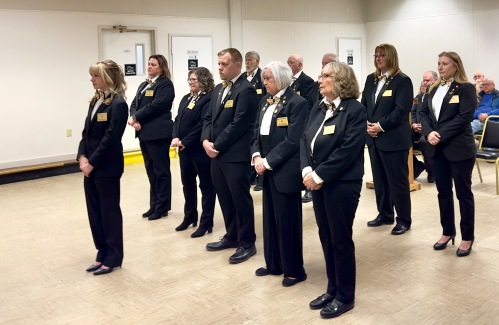 ‘She is our future’: Thirty years after permitting women to join, Montague Elks is almost entirely women-led
 ‘Art in the Age of Human Impact’: New exhibition at UMass explores complex relationship between humans and nature
 Valley Bounty: Nothing sweeter than sourcing local: Lemon Bakery in Amherst is a small, seasonal, from-scratch operation
 Here to help the community’s artists: Human Scale Art Space aims to advance visual arts in the Pioneer Valley
